October 2026 • 9 min read
Santa Maria has six official short trails (PR) between 3.9 and 11.7 km and one long-distance Grande Rota (GRC01 SMA) of 78.6 km that circles the whole island in four stages. Four of the short trails are open; two, Costa Sul and Santo Espírito to Maia, are listed as closed on the official Trails Azores portal at the time of writing. The best single day hike is Areia Branca, which crosses the island from Praia Formosa to São Lourenço over the 587 m summit of Pico Alto.
Below: every route with its official code, distance, time and difficulty, what you see on each, how the trail markings work, and which walks you can do with a guide and lunch included.
How Santa Maria's Trail Network Works
All the walking routes on Santa Maria belong to the regional network managed by the Azores Government and published on the Trails Azores portal (trails.visitazores.com), where each route has a page with a GPS track, an elevation profile and a printable leaflet. The codes tell you what to expect. PR stands for Pequena Rota, a short route you can finish in a few hours; a C after PR means the route is circular and brings you back to the start. GR stands for Grande Rota, a long-distance route split into stages. SMA is simply the island code for Santa Maria.
The markings follow the Portuguese standard. Short routes are waymarked in yellow and red; the Grande Rota is waymarked in white and red; where the two share a path you see white, red and yellow stripes together, which happens on the Areia Branca trail. A cross in the same colours means wrong way. Trails are inspected and can be closed after storms or landslides, and the portal shows a closed-trail notice on the route page when that happens, so check the status of your route the day before you walk it. At the time of writing two of the six short routes carry that notice.
Santa Maria is the oldest and driest island in the Azores, which changes the hiking compared with São Miguel or Flores. There is far less mud, the paths are often on bare red clay or limestone, there is little shade on the coastal sections, and summer heat is a bigger risk than rain. The island is also small, roughly 17 km long and 9.5 km wide, so every trailhead is a short drive from Vila do Porto.
The Trails at a Glance
| Trail | Code | Type | Distance | Time | Difficulty | Status |
|---|---|---|---|---|---|---|
| Costa Norte | PR01 SMA | Linear | 8.4 km | 4h | Medium | Open |
| Pico Alto | PRC02 SMA | Circular | 6.2 km | 2h | Medium | Open |
| Entre a Serra e o Mar | PRC03 SMA | Circular | 9.3 km | 2h30 | Medium | Open |
| Santo Espírito to Maia | PR04 SMA | Linear | 3.9 km | 2h | Easy | Closed |
| Costa Sul | PR05 SMA | Linear | 8 km | 3h | Medium | Closed |
| Areia Branca | PR06 SMA | Linear | 11.7 km | 4h30 | Medium | Open |
| Grande Rota de Santa Maria | GRC01 SMA | Circular, 4 stages | 78.6 km | 28h30 | Medium | Open |
Distances, times and status as published on trails.visitazores.com in October 2026. Status changes after storms, so confirm before walking.
1. Areia Branca (PR06 SMA): The Coast-to-Coast Classic
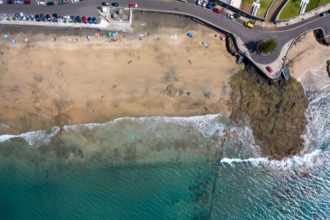
If you only walk one trail on Santa Maria, walk this one. Areia Branca links the island's two pale beaches, Praia Formosa on the south coast and the bay of São Lourenço on the north-east, and in 11.7 km it crosses almost everything that makes the island different from the rest of the Azores. The sand on both beaches is partly made of limestone and shell fragments, which is why it is light rather than black; there is nothing like it on the other eight islands.
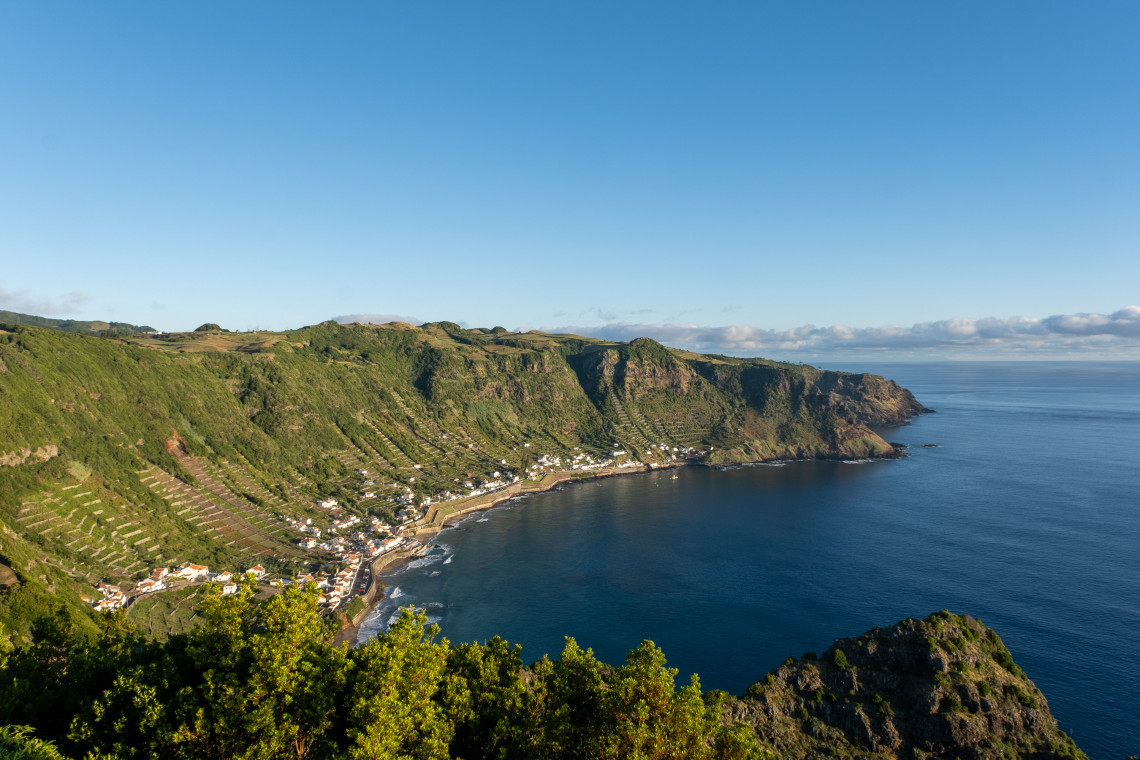
From Praia Formosa the route climbs through the Pedreira do Campo area, a natural monument where you can see marine fossils in the rock face, then rises steadily to the summit of Pico Alto at 587 m, the highest point on the island and the only place where you can see both coasts at once. The descent to São Lourenço drops through the vineyard terraces that step down the side of the bay like an amphitheatre, finishing at the natural swimming pools. Because the trail shares its middle section with the Grande Rota, the markings switch between the yellow and red of the short route and the white and red of the long route; follow whichever shows your direction.
It is linear, so you need transport at both ends. Most walkers leave a car at São Lourenço and take a taxi to Praia Formosa in the morning, so that the day finishes with a swim. Allow the full four and a half hours plus swimming time, carry at least two litres of water per person, and start early in July and August because the climb to Pico Alto has little shade.
2. Pico Alto (PRC02 SMA): The Summit Loop
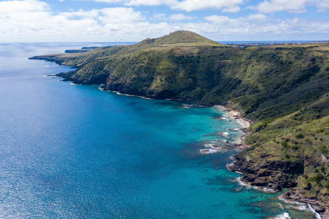
A short circular walk of 6.2 km from the Pico Alto car park, and the easiest way to stand on the island's roof. From the car park a staircase beside a military building leads up to the summit viewpoint, where on a clear day you see Vila do Porto, the airport plateau, the north coast and, far to the north-west, São Miguel. The loop then descends through the forest on the mountain's flanks, a mix of planted Japanese cedar and patches of native laurel vegetation, with openings that look over the central caldera-like depression and the west coast, before returning to the start past the hamlet of Alto Nascente.
Near the route stands the memorial to the 144 people who died when an Independent Air charter flight crashed into Pico Alto in February 1989, the deadliest air accident in Portuguese history. Local guides stop there and tell the story.
Two hours is realistic. The trail is graded medium because of the steep steps near the summit rather than its length, and it is the best choice on a day when the coastal paths are too hot or too windy. The forest also holds the island's endemic subspecies of goldcrest, the Santa Maria goldcrest, which you hear more often than you see.
GUIDED HIKE: PICO ALTO AND ANJOS, HALF DAY WITH LUNCH
Climb Pico Alto with a local guide, then drop to the north coast for the Anjos natural pools and the Columbus chapel. Transfers from your accommodation and lunch included, so no car logistics.
Book the Pico Alto and Anjos hike →3. Costa Norte (PR01 SMA): Red Clay, Watermills and Anjos
An 8.4 km linear route along the north coast from the hamlet of Bananeiras to Anjos. It is the trail for geology and history rather than big climbs. Early on, the path passes two traditional watermills and the stream that drove them, then reaches the Barreiro da Faneca, a plateau of bare red clay that locals call the red desert. The clay is weathered volcanic material from the island's last eruptive phase, and the colour, the cracked surface and the absence of vegetation make it look like nowhere else in the archipelago. It is classified as a protected landscape and as a geosite of the Azores UNESCO Global Geopark.
The route continues past viewpoints over the bay of Raposo, used by local fishermen, and ends in Anjos, where a small chapel is held by tradition to be the first Christian place of worship in the Azores. Christopher Columbus is recorded as having stopped at Santa Maria in February 1493 on his way home from the Americas, and the village has a statue of him beside the chapel. The natural swimming pools at Anjos are the reward at the end.
The official time of four hours is generous for the distance; fit walkers do it in three. The trail is exposed to the north wind, so this is a better choice on a southerly day, and it is muddy on the clay sections after rain even though the island is dry overall.
4. Entre a Serra e o Mar (PRC03 SMA): The Inland Loop From Santa Bárbara
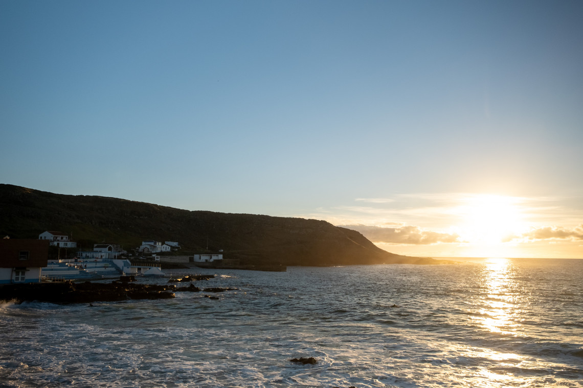
A 9.3 km circular trail that starts and finishes at the church in Santa Bárbara, the parish on the island's north-east side, and gives you the agricultural interior that the coastal trails skip. The route heads west along the road, turns onto a rural lane and climbs through pastures to Covão da Mula, a hollow where the people of Santa Bárbara dug clay for household use, with a wide view back over the parish centre. It then drops into the valley of Lagos, the greenest part of the walk and the best stretch for birds, before swinging north to the coast at Tagarete bay and the chapel of Nossa Senhora de Lurdes, unusual because it faces north towards the sea rather than east.
The last section visits Poço da Pedreira, an old quarry and geosite whose pale stone was used in the traditional houses of Santa Maria, the ones with the whitewashed walls and painted trims that you see across the island. The official time is two and a half hours, which is quick for 9.3 km and assumes you do not stop; three hours with photographs and the quarry is more realistic. The grade is medium for the climb to Covão da Mula.
5. Santo Espírito to Maia (PR04 SMA): Waterfall and Vineyards
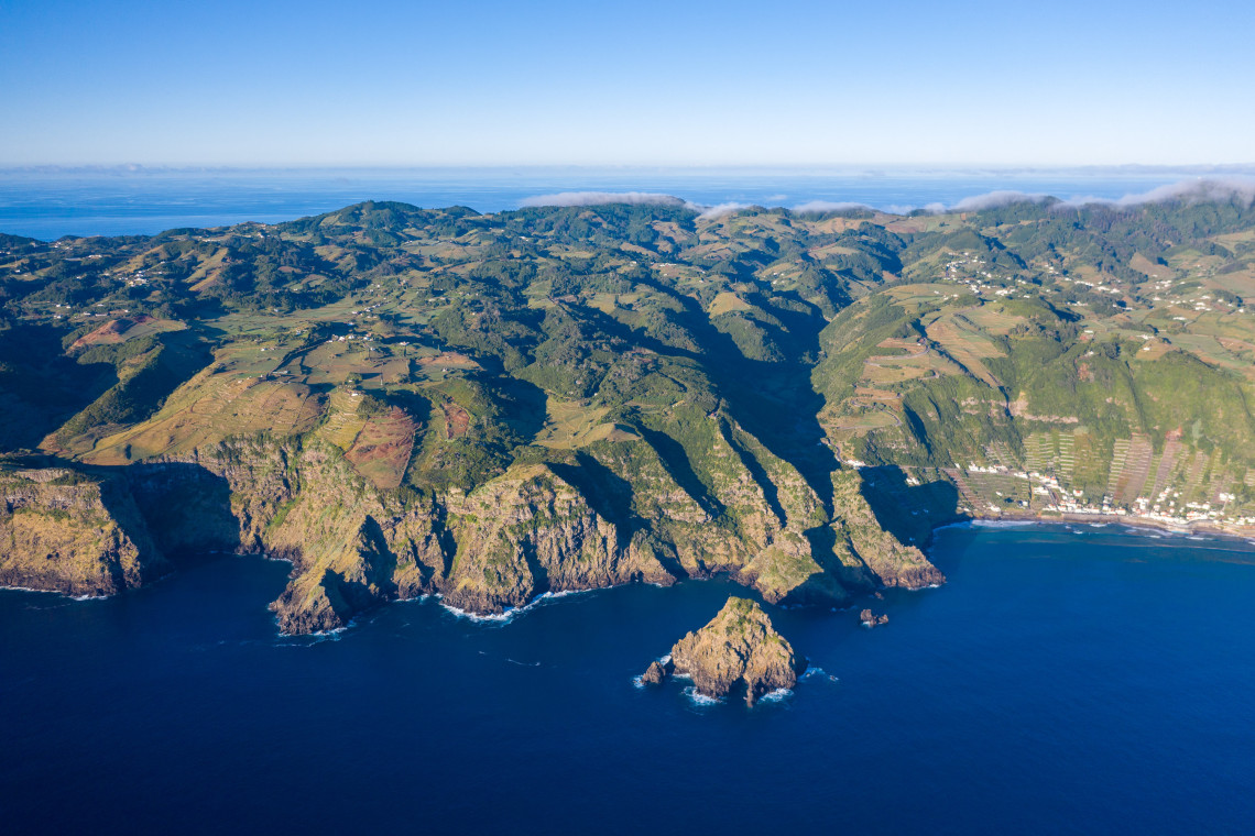
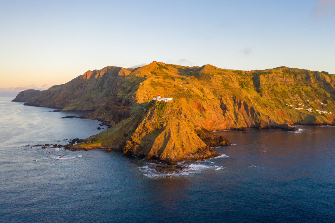
On paper this is the island's easiest official trail, 3.9 km downhill from the church in Santo Espírito, the most traditional parish on Santa Maria, to the bathing area at Maia on the east coast. The path runs past a disused windmill, through woodland of Australian cheesewood, and then down between the dry-stone vineyard walls that cover the slope above Maia, with the Cascata do Aveiro on the way: a waterfall of about 110 m, the highest in Portugal according to the Azores Geopark, that drops down a basalt cliff into the sea. At Maia the trail joins the Grande Rota, and the natural pools, the lighthouse of Gonçalo Velho and the ruins of the Ponta do Castelo whaling station are all within a short walk.
At the time of writing the Trails Azores portal lists PR04 as closed, and we do not know the reason or how long the closure will last. The practical alternative is the guided version. Local guides run the route from Santo Espírito through Ribeira Grande and Maia to Ponta do Castelo as a 6.8 km half-day walk with lunch, using paths and roads that are open, so you still see the windmill, the waterfall, the terraces and the whaling station without planning your own way around the closure. Check the official status before setting out alone.
GUIDED HIKE: SANTO ESPÍRITO TO MAIA, HALF DAY WITH LUNCH
A 6.8 km guided walk from Santo Espírito past the Aveiro waterfall and the Maia vineyards to the Gonçalo Velho lighthouse and the old whaling station, with lunch and pick-up included.
Book the Santo Espírito and Maia hike →6. Costa Sul (PR05 SMA): Vila do Porto to Praia Formosa
The south coast trail is 8 km linear from the Fortress of São Brás in Vila do Porto to the car park at Praia Formosa. It is the most historical of the walks: the 17th-century fort at the start overlooks the bay and the commercial harbour, the route passes the Pedreira do Campo geosite with its marine fossils, then the artificial cave at Figueiral where clay and limestone were once dug for roof tiles and lime, and ends by the ruins of the Fortress of São João Baptista just before the beach. The stream of São Francisco near the start is one of the better spots on the island for wintering birds, including grey heron, little egret and curlew.
The coastal stretch between Prainha and the beach runs along cliffs with a fixed steel cable for the exposed section, and the official description warns about vertigo and tells walkers to take the inland alternative in stormy weather. The portal currently lists the whole route as closed. Until it reopens, the Pedreira do Campo fossils can be visited from the road, and Praia Formosa is reached by car or as the starting point of Areia Branca.
7. Grande Rota de Santa Maria (GRC01 SMA): 78.6 km Around the Island
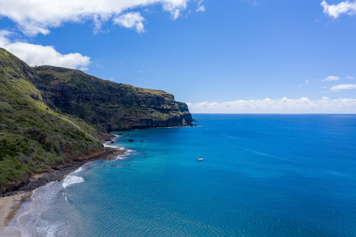
The Grande Rota de Santa Maria lets you walk around the entire island on a single waymarked route. It is a 78.6 km circuit starting and ending in Vila do Porto, graded medium, with an official walking time of 28 and a half hours divided into four stages. Stage 1 runs from Vila do Porto to Cardal, 17.1 km in about 7 hours, along the south coast past Praia Formosa. Stage 2 goes from Cardal to Norte, 21.5 km in 7 and a half hours, around the eastern tip through Maia, the Aveiro waterfall and São Lourenço. Stage 3 covers Norte to Bananeiras, 16.5 km in 6 and a half hours, across the north coast and the Barreiro da Faneca. Stage 4 closes the loop from Bananeiras back to Vila do Porto, 23.5 km in about 8 hours, through Anjos and the western plateau.
The route follows the island's geology: the coastal marine fossil beds that record ancient sea levels, the limestone sands, the red clay of the Barreiro da Faneca and the cliffs of the east coast, with swimming spots at the end of most days. Accommodation is in rural tourism houses and the hostels in the villages at each stage end, and because the island is small you can also base yourself in Vila do Porto and use taxis to the start of each stage, which many walkers prefer to carrying everything. Four days is the official pace; strong walkers combine stages 1 and 3 into shorter days and do it in three.
The Grande Rota is waymarked in white and red. Where it overlaps the short routes, at Areia Branca and at Maia, you see both sets of markings. Water is the main planning issue: the villages are far apart on stages 2 and 4, and there are stretches of two hours or more without a café or a tap.
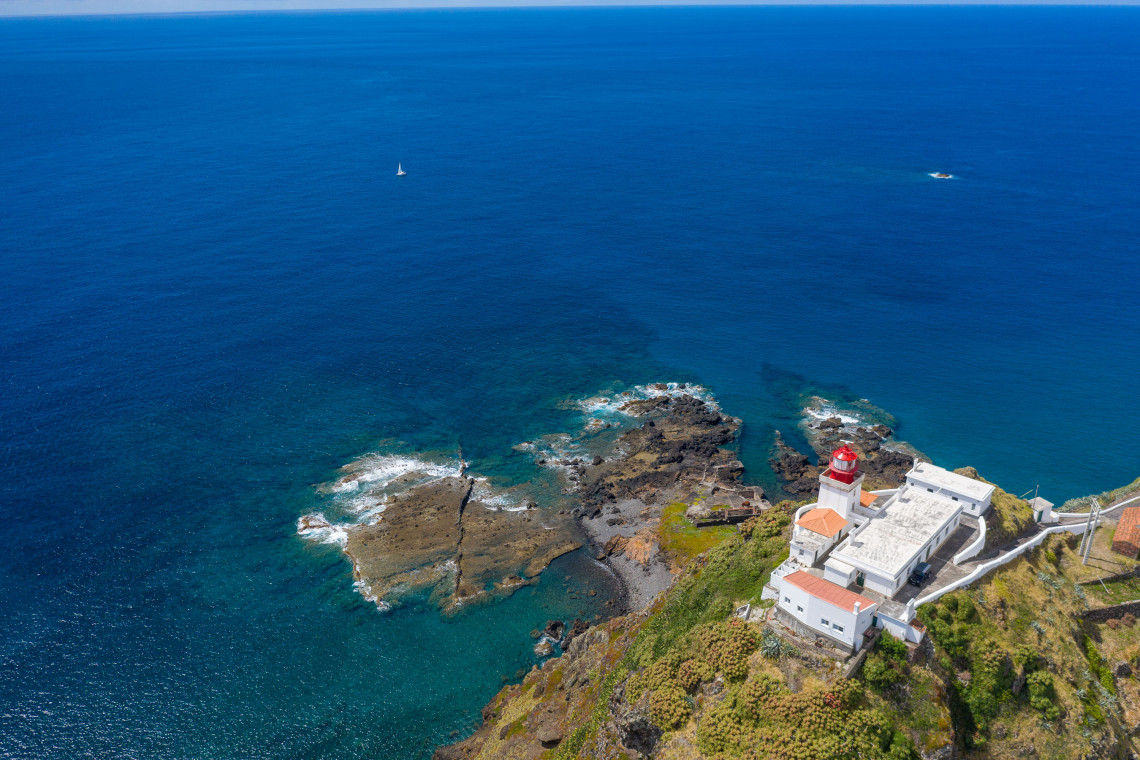
FULL-DAY GUIDED WALKING TOUR (7 HOURS)
A seven-hour guided walk linking the island's best trail sections in one day, with a local guide who knows which paths are open and where the viewpoints are.
Book the full-day walking tour →When to Hike on Santa Maria
Santa Maria is the sunniest and driest of the nine islands, which is why the Azoreans call it the Sun Island, and it has a longer hiking season than the rest of the archipelago. April to June and September to October are the best months: temperatures in the high teens to mid twenties, the vegetation still green in spring, the sea warm enough to swim at the end of a walk in autumn. July and August are hot on the exposed coastal paths, with little shade on Costa Norte, Areia Branca and the Grande Rota; start by 8 am and finish the climbs before midday. Winter walking is possible and often pleasant, with the trade-off of shorter days, more wind on the north coast and a higher chance of trails being closed after storms.
Practical Information
Getting to the trailheads. Public transport on the island is limited and does not fit hiking schedules, so plan on a rental car, a taxi or a guided tour with pick-up. For the two linear trails that are open, Areia Branca and Costa Norte, the usual plan is to leave the car at the end point and take a taxi to the start; taxis are based in Vila do Porto and at the airport and should be booked the evening before. Pico Alto and Entre a Serra e o Mar are loops with parking at the start.
Maps and GPS. Download the GPS track and the leaflet for each trail from the Trails Azores portal before you arrive; mobile coverage is patchy inland and non-existent in parts of the north-east. The leaflets include the emergency number, which in Portugal is 112.
What to bring. Hiking shoes with grip for the clay sections, which become slick after rain; a hat, sun cream and more water than you think you need, because shade is scarce and the island's streams are not reliable; a windproof layer for the north coast; swimwear and a towel, since five of the seven routes end at or pass a bathing area.
Trail etiquette. Close gates behind you, as most trails cross grazing land; stay on the marked path across the Barreiro da Faneca, where footprints damage the clay surface for years; and do not pick plants in the protected areas around Pico Alto and São Lourenço.
Guided or on your own. The open trails are well marked and short enough to walk independently with the official track on your phone. A guide is worth it for the closed routes, where they know the legal alternatives, for the stories behind the places, and for the logistics of the linear walks, since the half-day tours include transfers and lunch.
Plan it your way
Custom Your Trip
Tell our local travel advisors which islands, dates and experiences you want and we build the itinerary around you.
Start your custom trip →Limited time
Azores Packages On Sale
Flights, hotels and rental car bundled at reduced prices. See every package currently on sale and book while it lasts.
Book now →Santa Maria Hiking Trails: FAQ
How many official hiking trails are there on Santa Maria?
Seven: six short routes (PR01 Costa Norte, PRC02 Pico Alto, PRC03 Entre a Serra e o Mar, PR04 Santo Espírito to Maia, PR05 Costa Sul, PR06 Areia Branca) and the Grande Rota GRC01 SMA, a 78.6 km circuit of the island in four stages.
What is the best hike on Santa Maria Island?
Areia Branca (PR06 SMA), 11.7 km from Praia Formosa to São Lourenço over the summit of Pico Alto. It links the two pale beaches, the fossil beds and the highest viewpoint in one walk and ends at natural swimming pools.
Which Santa Maria trails are currently closed?
At the time of writing the official portal lists Costa Sul (PR05) and Santo Espírito to Maia (PR04) as closed. The Santo Espírito to Maia area can still be walked on a guided tour that uses open paths. Check trails.visitazores.com before you go, because status changes.
Can you walk around the whole of Santa Maria?
Yes. The Grande Rota de Santa Maria is a waymarked 78.6 km loop from Vila do Porto in four stages of 16.5 to 23.5 km, with an official total time of 28 and a half hours. Few Azorean islands have a complete waymarked circuit, which makes it a good first long-distance walk in the archipelago.
How hard are the hikes on Santa Maria?
All the short routes are graded easy or medium by the regional network, with the longest at 11.7 km and the biggest climb to 587 m at Pico Alto. The difficulty comes from heat and exposure on the coastal paths rather than from technical terrain.
What do the trail markings mean in the Azores?
Short routes (PR) are marked with yellow and red stripes, the Grande Rota (GR) with white and red. Parallel stripes mean continue, a bent pair means turn, and a cross means wrong way. Where routes overlap you see both colour sets.
Do I need a guide to hike in Santa Maria?
Not for the open short trails, which are waymarked and have GPS tracks on the official portal. A guide is useful for the closed routes, for transport on the linear walks and for the history of the places; the half-day guided hikes include transfers and lunch.
When is the best time to hike in Santa Maria?
April to June and September to October. Santa Maria is the driest and sunniest Azorean island, so summer is hotter and more exposed than elsewhere in the archipelago, and winter brings more wind and occasional trail closures.
How high is Pico Alto?
587 m, the highest point on Santa Maria. The summit is reached on the Pico Alto loop (PRC02) and on the Areia Branca trail (PR06), and on a clear day you can see São Miguel from the top.
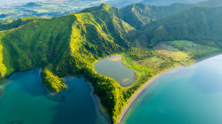
.jpg "Sete Cidades Caldera Lakes in São Miguel Island, Azores")
.jpg "Jeep tour through Cumeeiras, Sete Cidades, São Miguel Island")
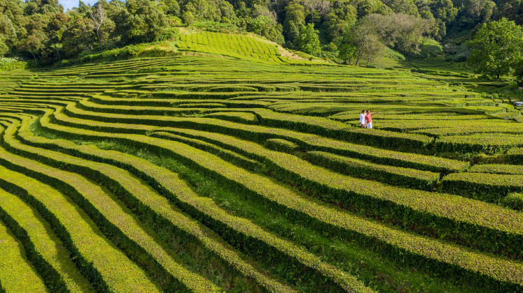
.jpg "Scenic View of Tea Plantations in São Miguel, Azores")
.jpg "Pico Island’s Longitudinal Road (IS1) – Scenic Drive Through the Heart of the Island")